Ymele:Norway Counties Blank.svg

Size of this PNG preview of this SVG file: 562 be 600 dotta. Oðra metinga brædo: 225 be 240 dotta | 450 be 480 dotta | 719 be 768 dotta | 959 be 1,024 dotta | 1,918 be 2,048 dotta | 740 be 790 dotta.
Frumlicu ymele (SVG ymele, rihte 740 × 790 pixela, ymelan micelness: 54 KB)
Scortness
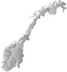
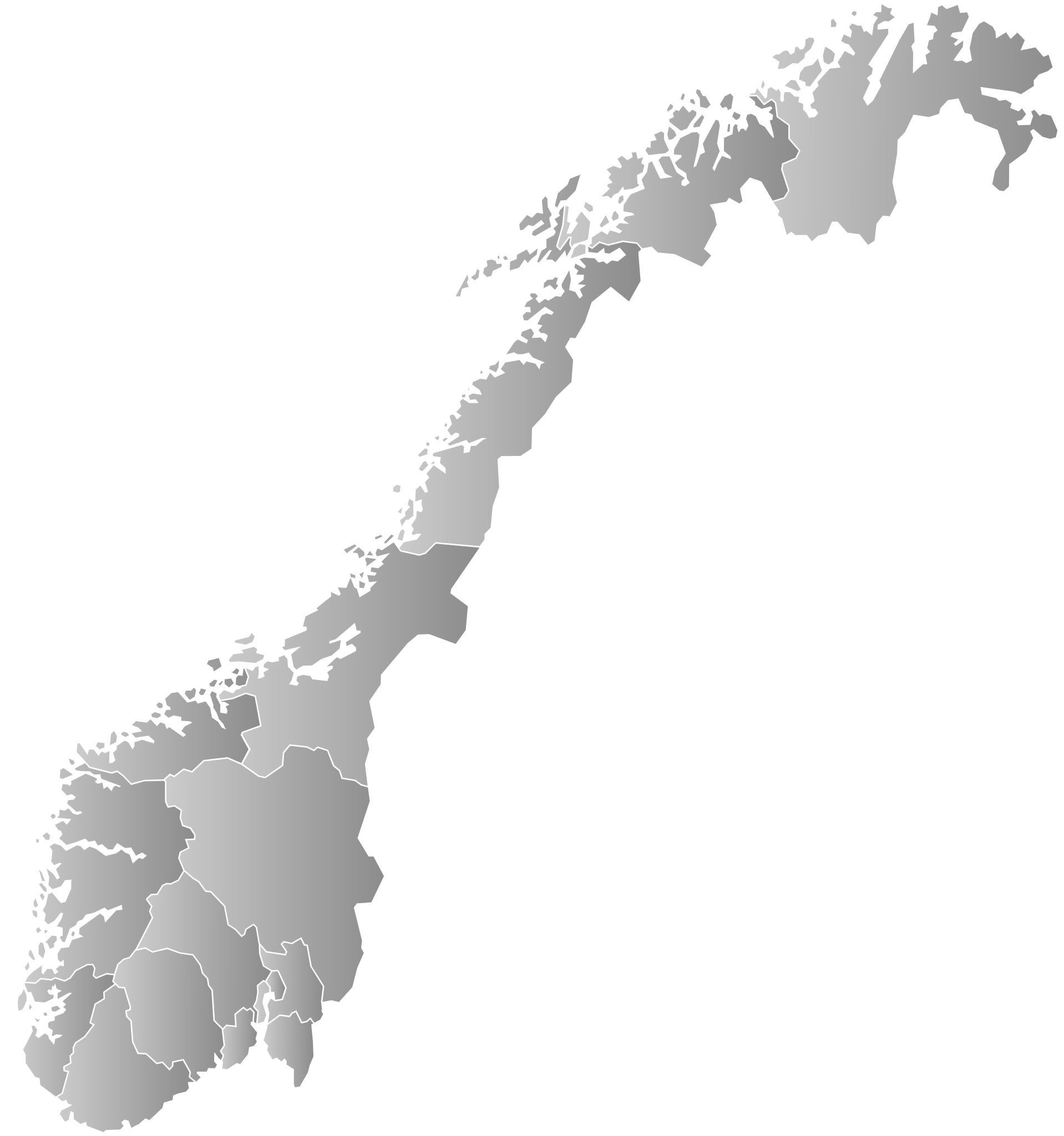
| Towritenness | Blank map of Norwegian counties, used e.g. to create locator maps. |
| Tælmearc | |
| Fruma | Agen weorc |
| Dædfruma | Bjarkan |
Leaf:
I, the copyright holder of this work, hereby publish it under the following license:
This file is licensed under the Creative Commons Attribution-Share Alike 4.0 International license.
- Þu most:
- bryttian – to copy, distribute and transmit the work
- to remix – andwendan þæt weorc
- Under the following conditions:
- hlígung – You must give appropriate credit, provide a link to the license, and indicate if changes were made. You may do so in any reasonable manner, but not in any way that suggests the licensor endorses you or your use.
- Efenlice bryttiendlic – Gif þu andwende þis weorc to ohte, þu scleat bryttian þæt andwendede weorc synderlice mid þære ilcan oþþe gelicre leafe swilcre þis brycþ.
Ymelan stær
Swing dæg/tide mid mys to seonne þa ymelan swa heo wæs on þære tide geywed.
| Dæg/Tid | Metungincel | Micelnesse gemetu | Brucend | Ymbspræc | |
|---|---|---|---|---|---|
| nu | 13:45, 8 Sēremōnaþ 2024 | | 740 × 790 (54 KB) | Worldlydev | Updated with 2024 borders |
| 13:03, 5 Haligmonað 2020 |  | 740 × 790 (43 KB) | Worldlydev | New county borders. Credit to User:Bjarkan. Based on: https://commons.wikimedia.org/wiki/File:Norway_Counties_Tr%C3%B8ndelag_Position.svg | |
| 13:36, 22 Winterfylleð 2009 |  | 540 × 550 (496 KB) | Janbrogger | Resized page | |
| 13:27, 22 Winterfylleð 2009 |  | 744 × 1,052 (499 KB) | Janbrogger | Added Svalbard | |
| 09:52, 16 Æfterra Liða 2008 |  | 512 × 512 (83 KB) | ZorroIII | Correct county code for Telemark | |
| 21:39, 21 Haligmonað 2007 |  | 512 × 512 (83 KB) | Marmelad | added information about regions | |
| 21:24, 21 Haligmonað 2007 |  | 512 × 512 (82 KB) | Marmelad | forgot to remove example colouring | |
| 21:23, 21 Haligmonað 2007 |  | 512 × 512 (82 KB) | Marmelad | {{Information |Description=Blank map of Norwegian counties, used e.g. to create locator maps. |Source=Based on Image:Norway counties.svg |Date=2007-09-21 |Author=Marmelad |Permission= {{cc-by-sa-2.5}} |other_versions= }} [[Categor |
Biliþbendas
Þǣr sind nāne trametas þe bindaþ tō þissum biliðe.
Ymelan eormen nytt
Þas wiki brucaþ þissa ymelena:
- Nytt on no.wiki.x.io